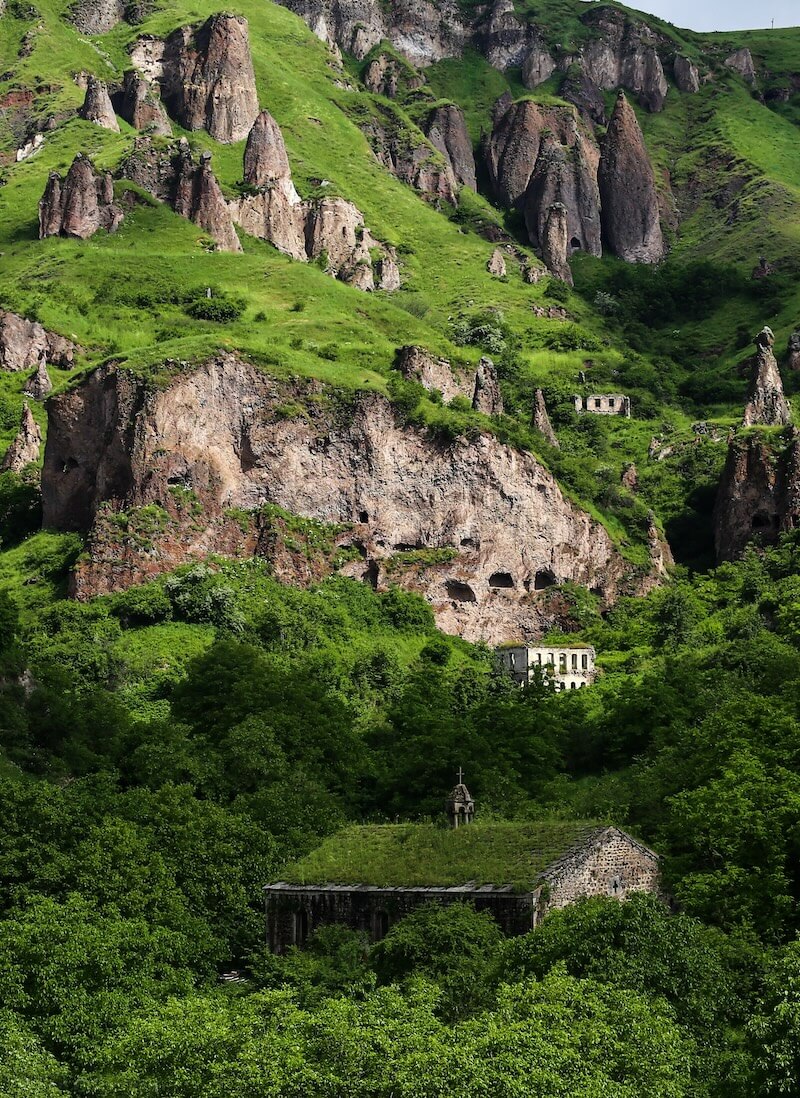
Khndzoresk (Armenian: Խնձորեսկ, pronounced [χəndzɔˈɾɛsk]) is a village in the Goris Municipality of the Syunik Province in Armenia. The village is located to the east of the Goris-Stepanakert highway, on the steep slopes of Khor Dzor (Deep Gorge), which the village is named after, according to tradition.
Khndzoresk (Armenian: Խնձորեսկ, pronounced [χəndzɔˈɾɛsk]) is a village in the Goris Municipality of the Syunik Province in Armenia. The village is located to the east of the Goris-Stepanakert highway, on the steep slopes of Khor Dzor (Deep Gorge), which the village is named after, according to tradition.
Crossing the bridge at the entrance of the village, the road continues towards the towns of Lachin and Stepanakert. New Khndzoresk (the current inhabited area) was built in the 1950s. The village is located at 1,580 m (5,180 ft) above sea level and occupies 6,772.8 ha (26.150 sq mi).
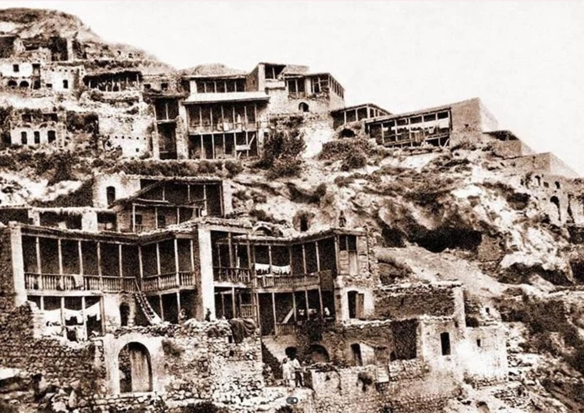
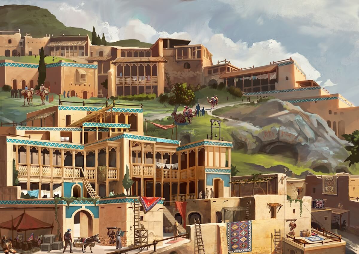
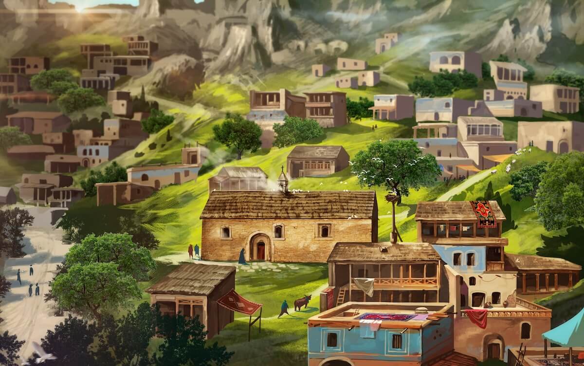
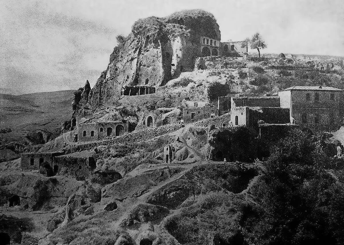
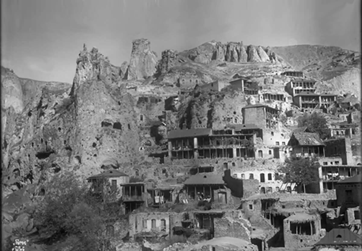
History In the end of the 19th century, Old Khndzoresk was the biggest village of Eastern Armenia. In the beginning of the 20th century, the community had 8,300 inhabitants (1,800 households). In 1913 there were 27 shops, 3 dye-houses, tanneries, and 7 schools. The village is famous for taking part in the liberation movement of David Bek. The fortress of Khndzoresk served as a military base for Mkhitar Sparapet in 1728–1730. In 1735 the village was visited by Catholicos (Head of Armenian Apostolic Church) Abraham Kretatsi who gave a thorough description of the community in his chronicles. During the 1980s, an additional village sprouted 7 km (4.3 mi) from Khndzoresk due to resizing and political unrest. This village, considerably smaller than Khndzoresk, is called Lower Khndzoresk, or Nerkin Khndzoresk.
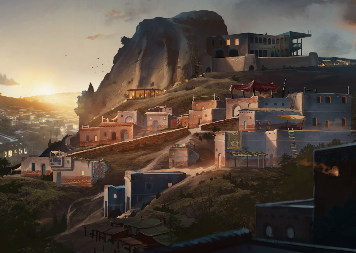
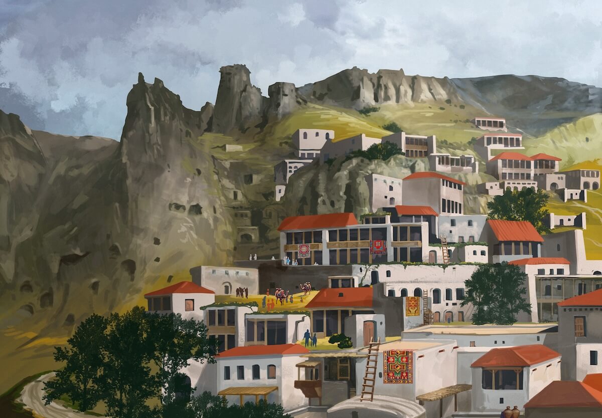
Cultural heritage Khndzoresk is widely famous for its canyon with picturesque rock formations and ancient cave settlements. The artificial caves, some of which are currently used as stables and warehouses, used to be inhabited till the 1950s. In the bottom of the gorge, there is St. Hripsime church, dating back to the 17th century. On a spur beyond on the right side of the gorge, there is Anapat (hermitage) with the tomb of Mkhitar Sparapet. The cave church of St. Tatevos can also be found nearby.
Created by Armenian Treasures Scanning and drone shooting by Spartak Garnikyan, Arshaluys Mkrtchyan Visual Concepts by – Andranik Asatryan Project Funding by Safe Armenian Monuments Foundation and Armenian Treasures Team

")
1")
1")
1")

1")

")
 (1)")
 (1)")

")
 (1)")
 (1)")
 (1) (1)")
 (1)")
 (1)")